About “Colors and map symbols”
Here you learn about the colours on orienteering maps and the symbols used to show different terrain features.
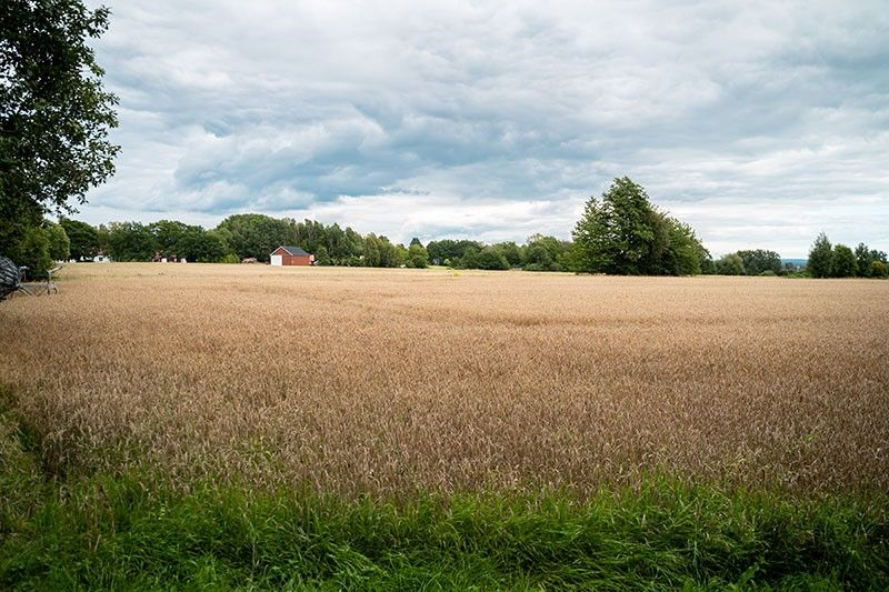
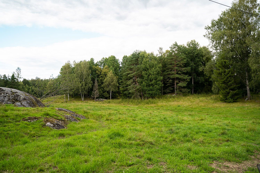
The colors on the orienteering map
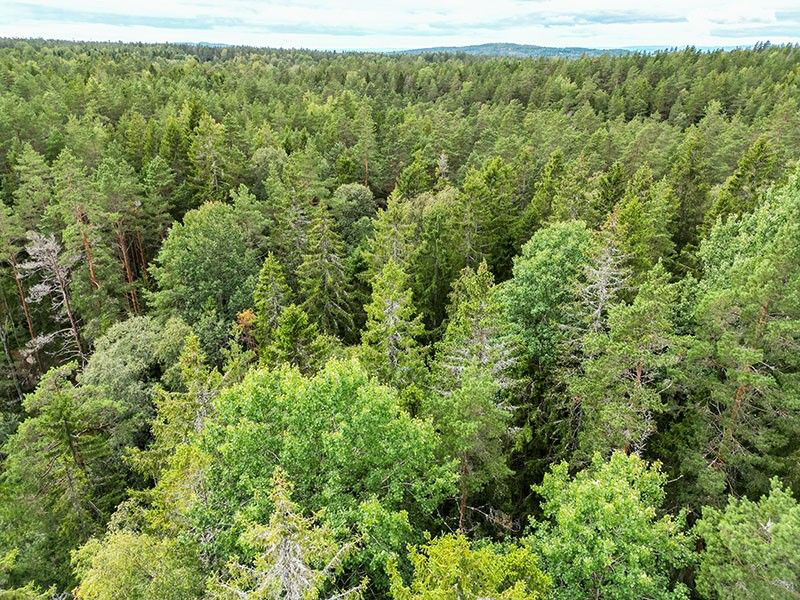
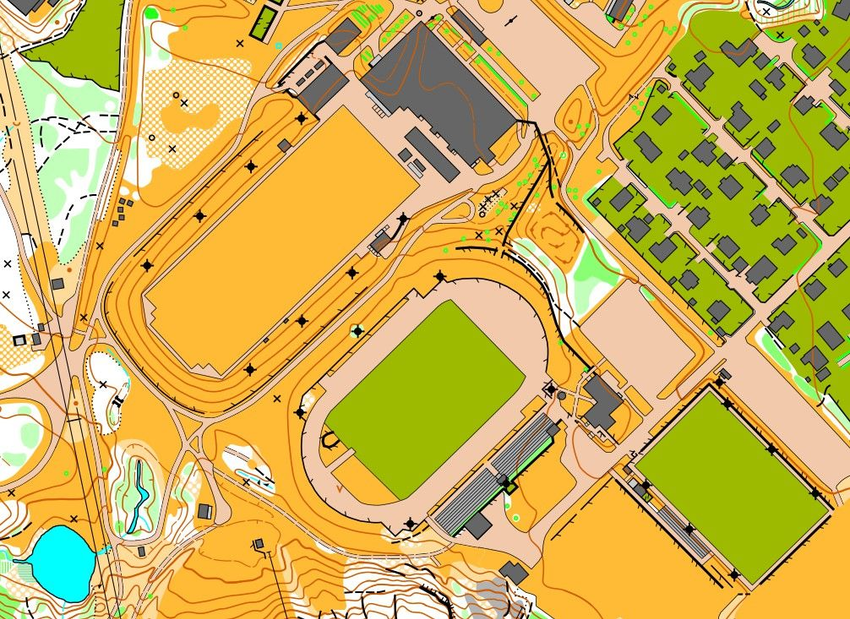
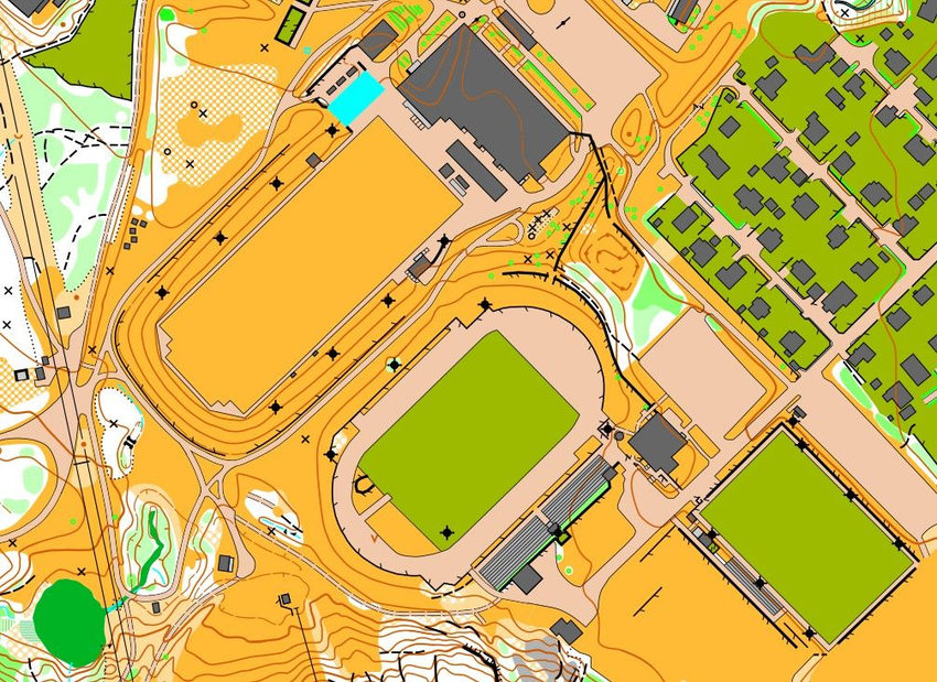
Here you see an aerial photo and an orienteering map of the same area. By dragging the slider, you can see that the map has slightly different colors than the aerial photo.
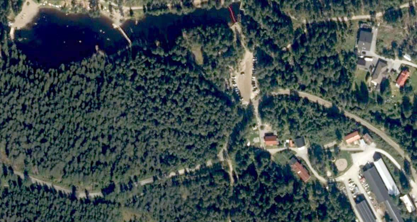
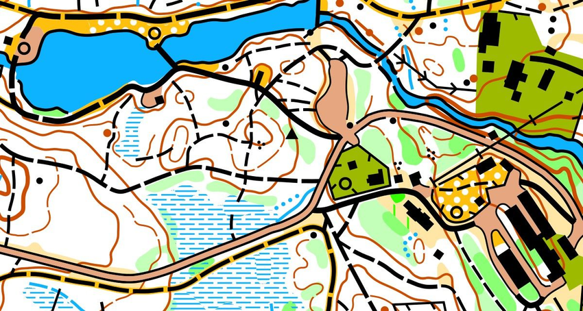
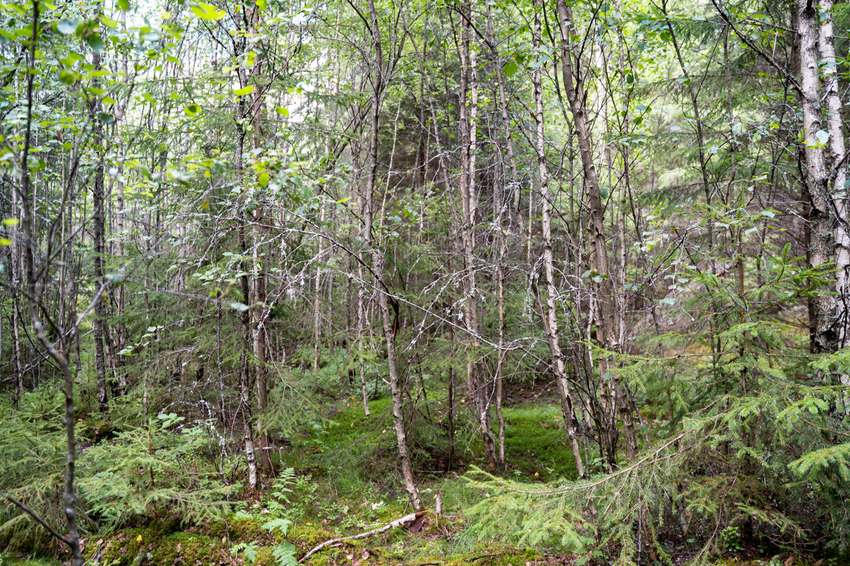
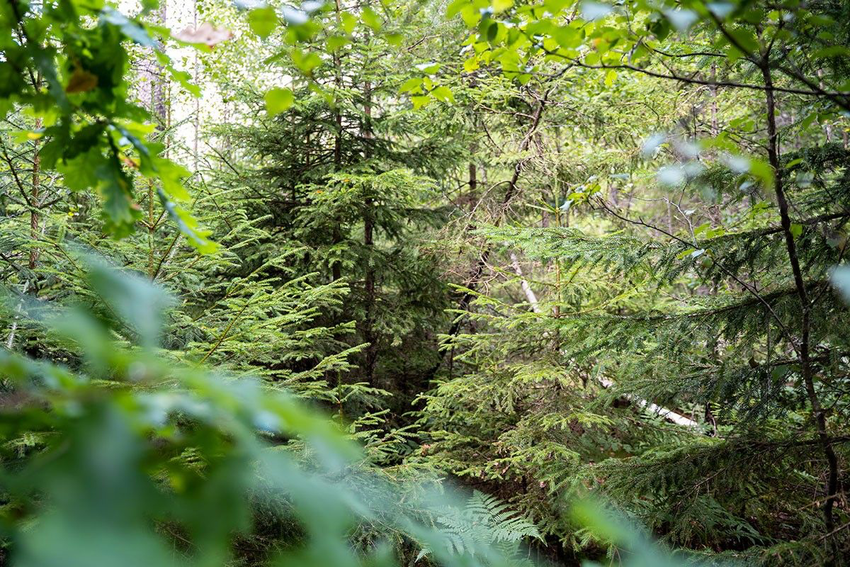
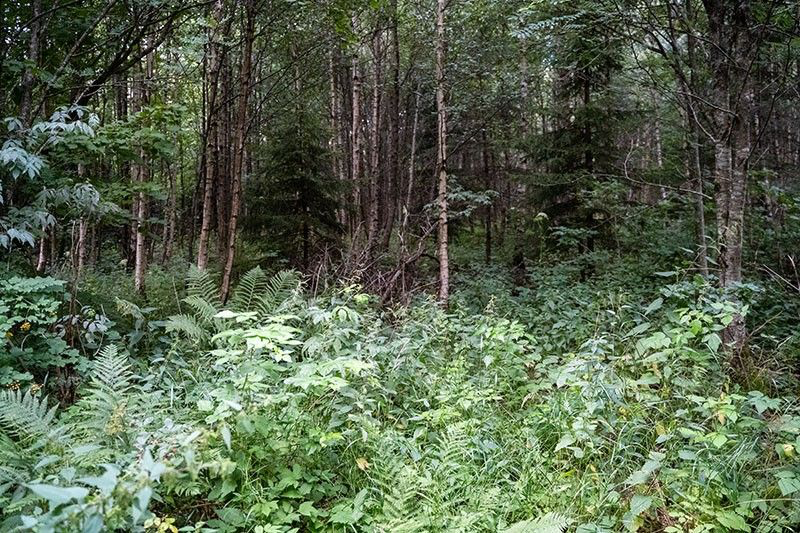
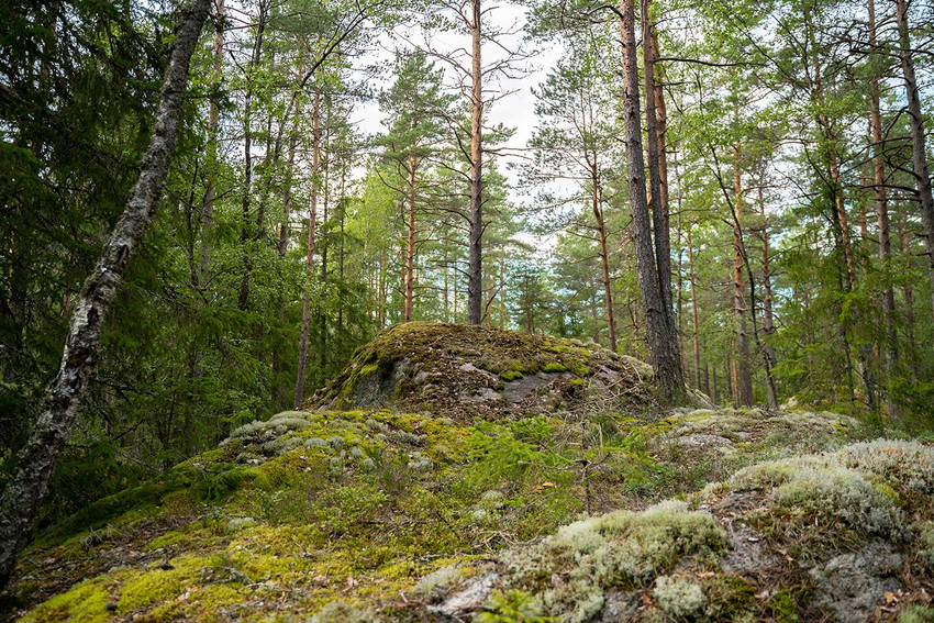
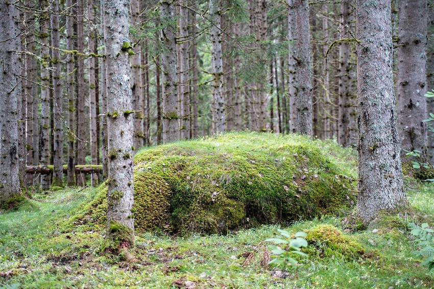
The map has different colours than what you see in the terrain. Terrain features are shown using map symbols in different colours. The symbols can represent an object, such as a boulder, path or building, or an area, such as dense forest, marsh or field.
Try to learn what the colors mean by heart
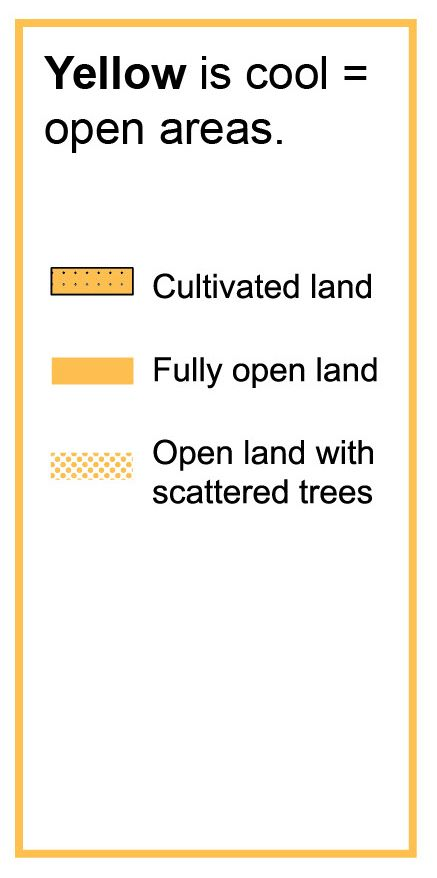
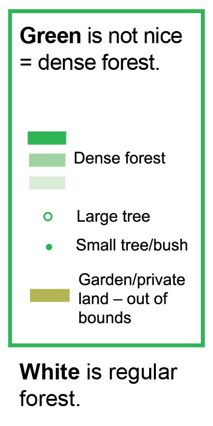
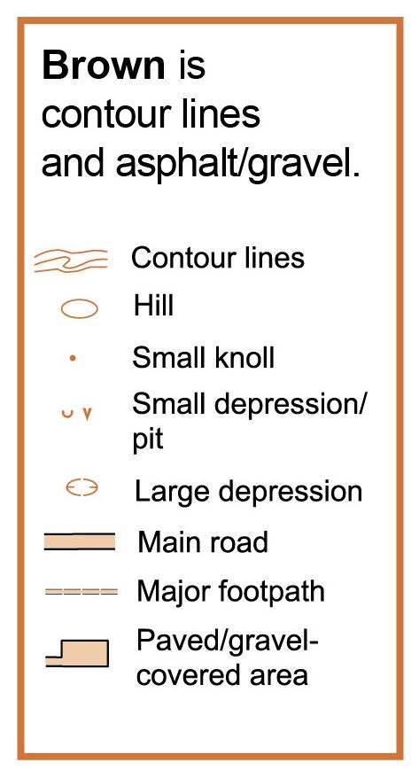
An orienteering map has six different colours. Click the colour buttons to see what they represent.

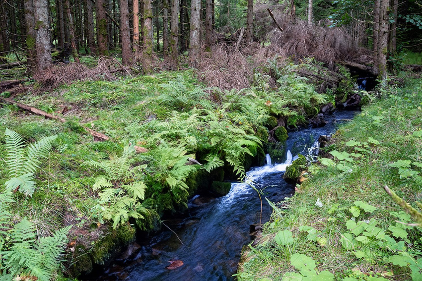
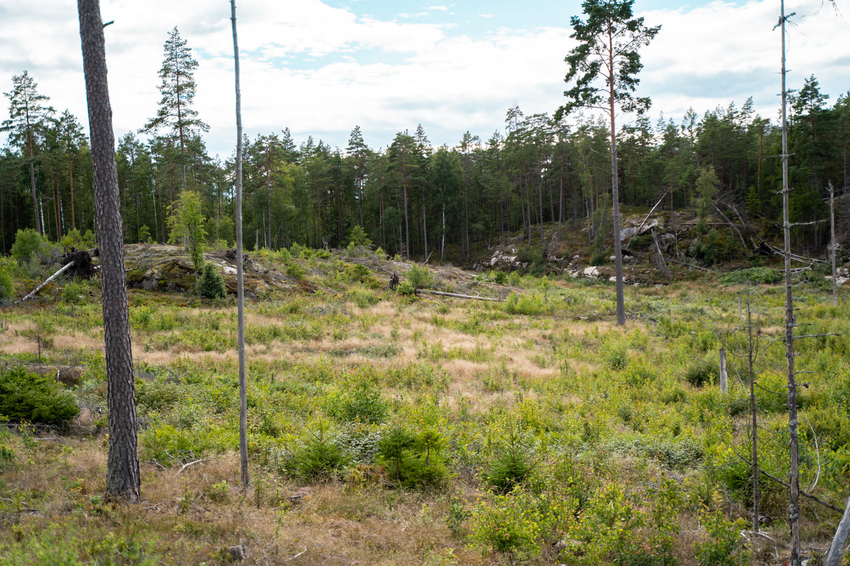
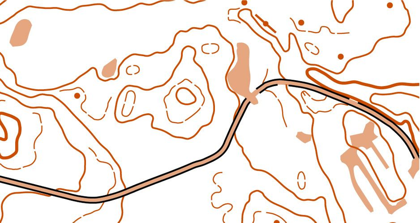
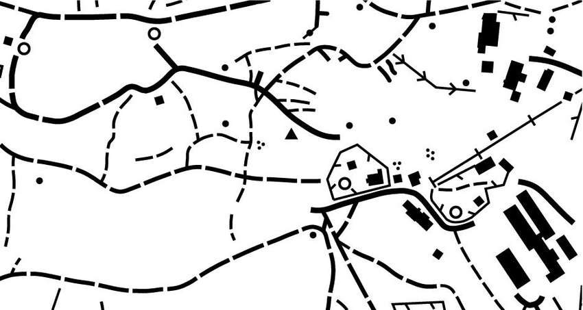
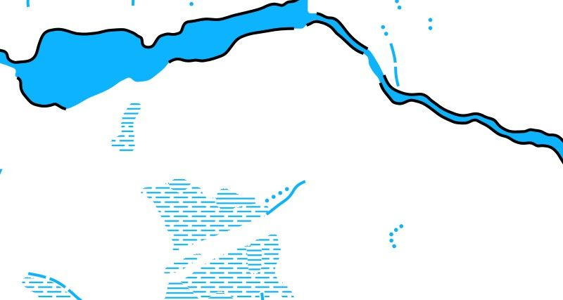
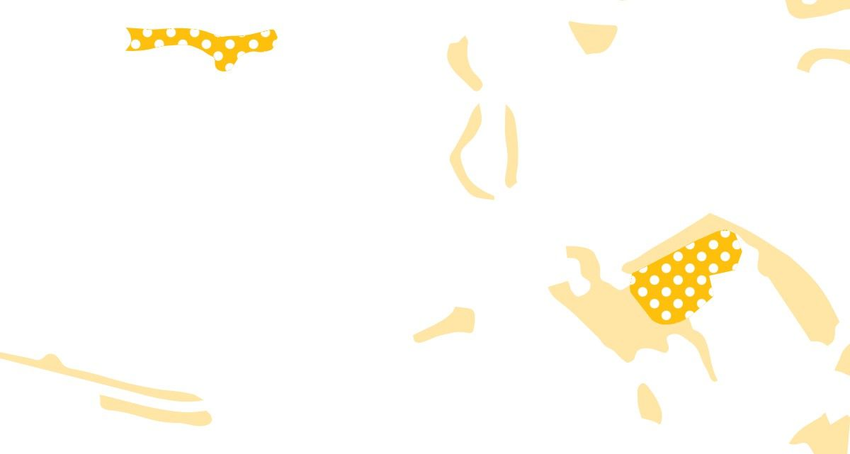
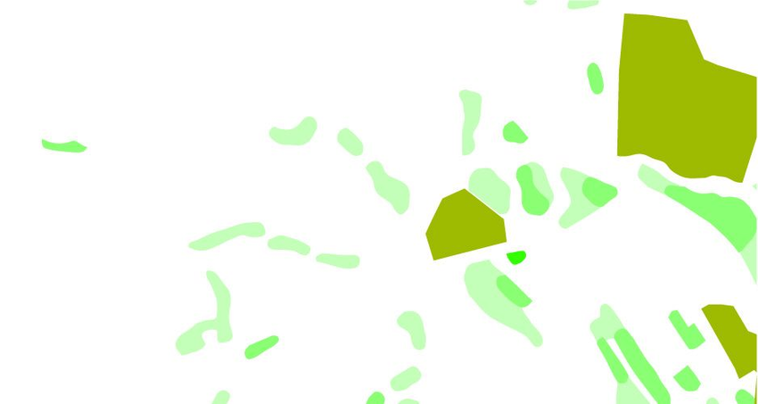
The map’s many colors
These maps show the same area, but the individual colours have been isolated. The final map is how a real orienteering map should look.


Tips
Learn these rules:
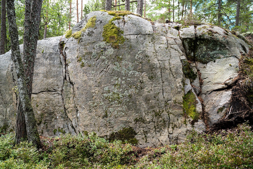
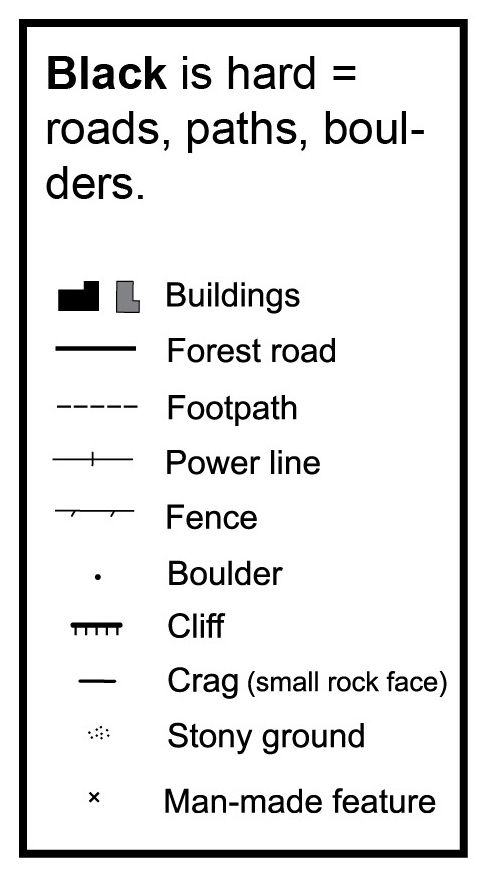
Black is hard.
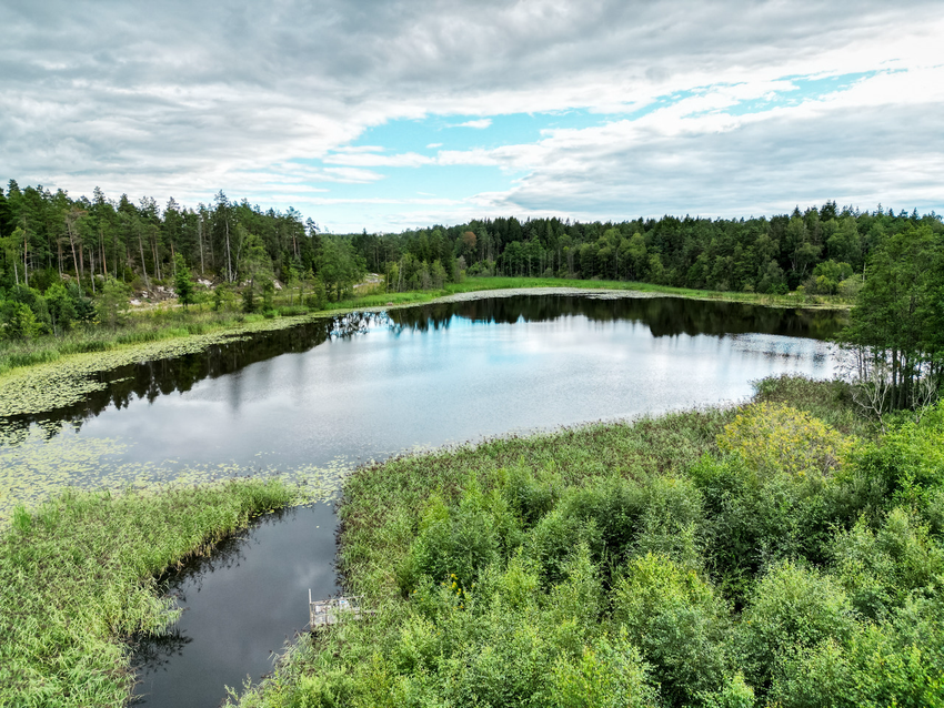
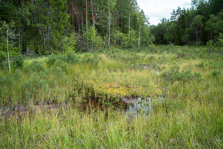
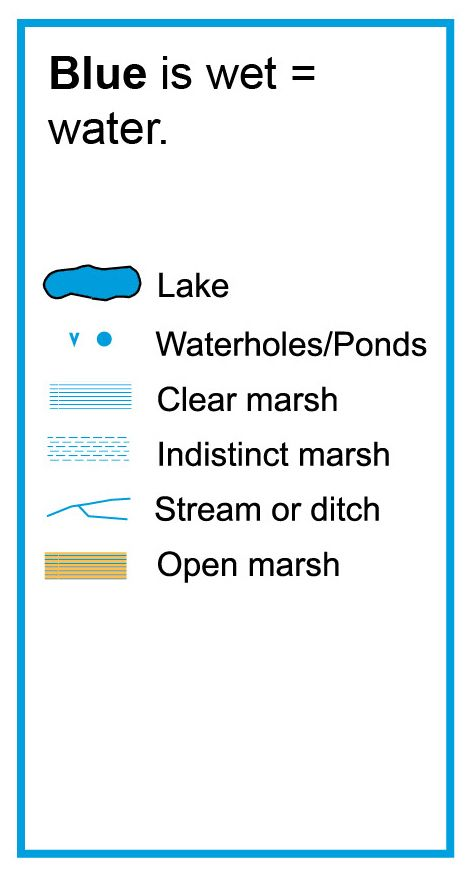
Blue is wet.
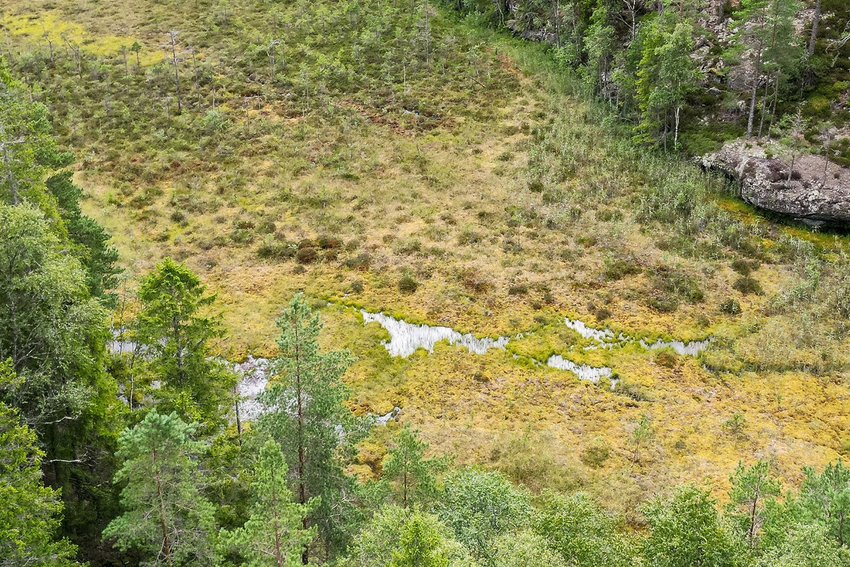
Yellow is cool.
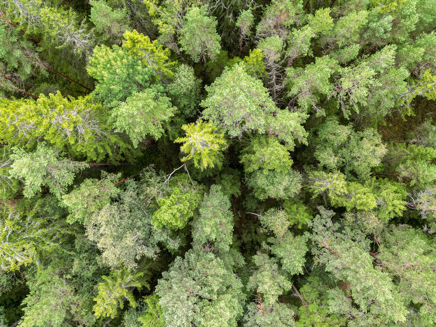
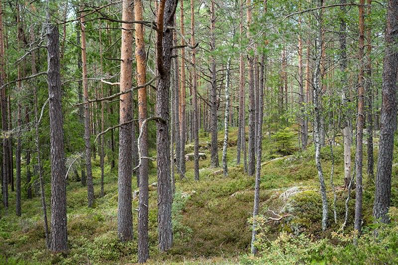
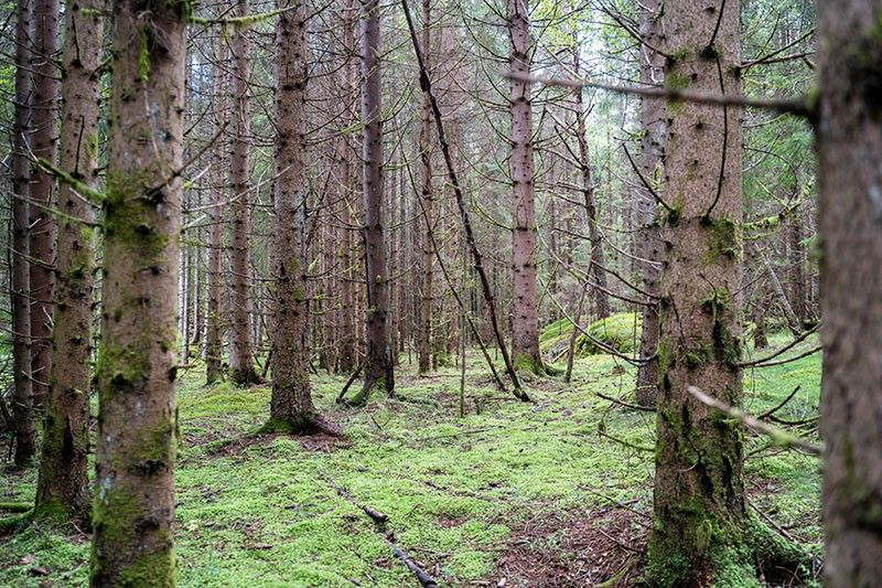
Green is not pretty.
Can you make your own rules for ‘white’ and ‘brown’?
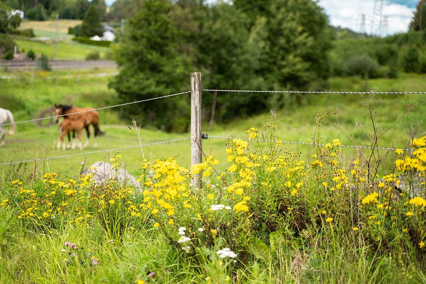
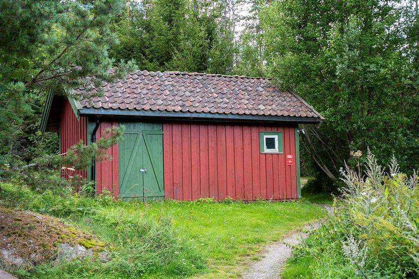
Map symbols
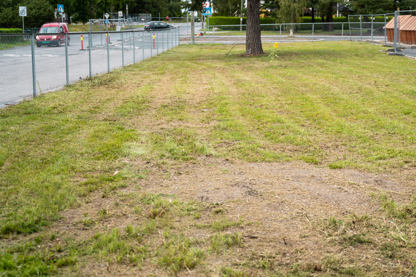
The map symbols show the big and important details in the terrain. There are often many small details that are not shown on the map. Things that move, such as cars, people and animals, are also not shown.
Click on the map symbols
Tips
Most maps have a legend so you don’t have to remember all the symbols.
Comparison of maps
Can you solve these three tasks?
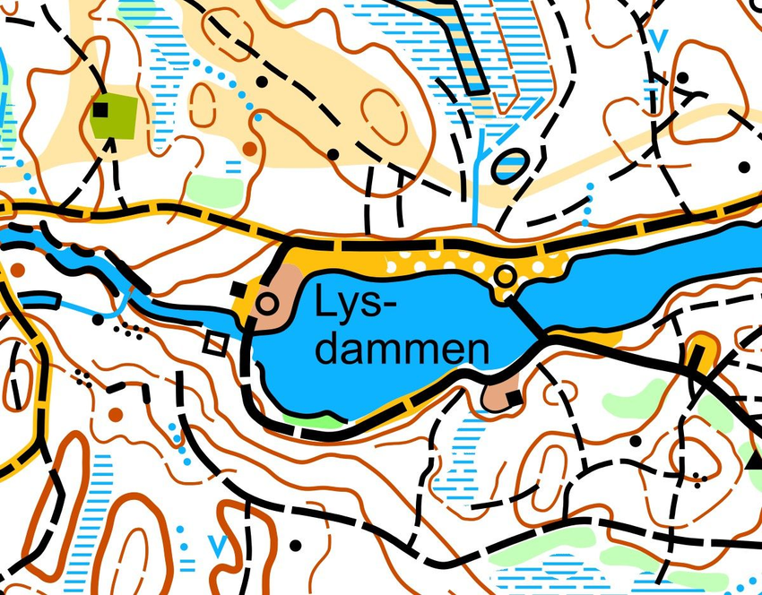
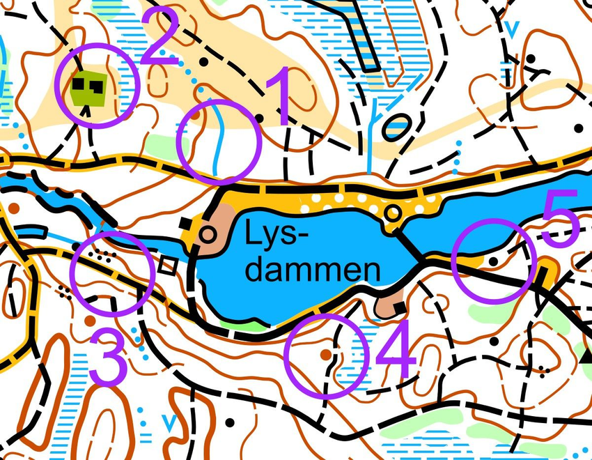
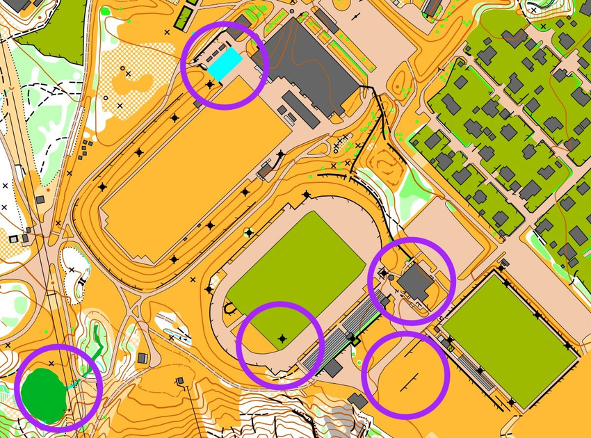
1. Which five details are missing on map 2?
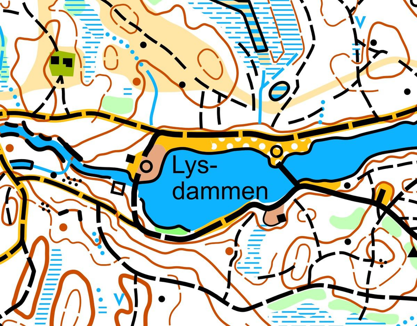
ShowHide answer
A stream, a building, a path, a knoll and a boulder.
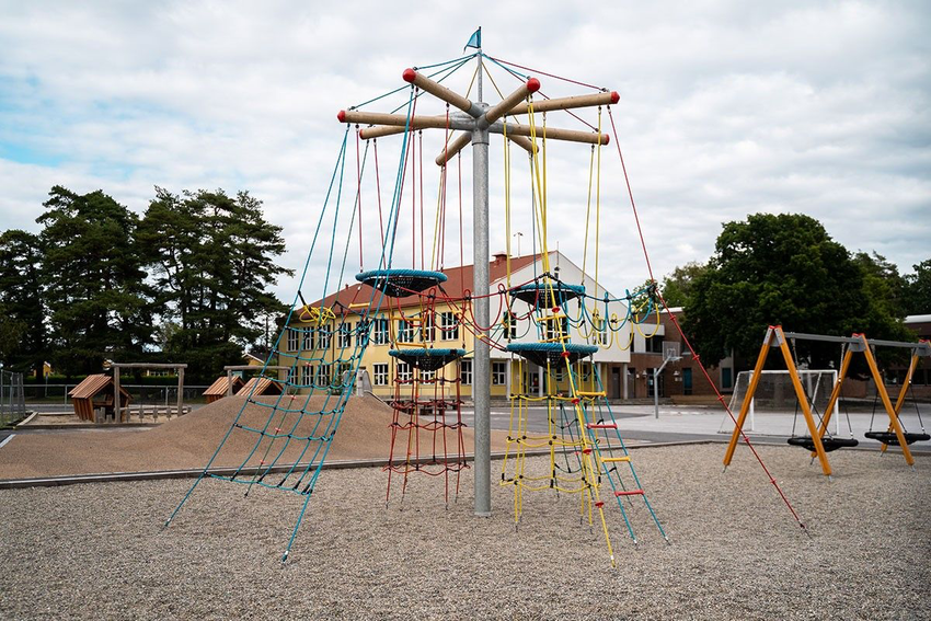
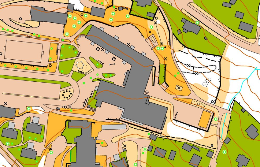
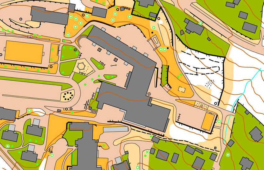
3. Here is a schoolyard map. Which of the four maps A, B, C or D is identical to the reference map?


ShowHide answer
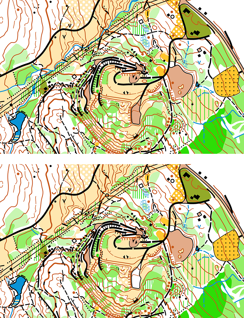
5. Which five details have been changed on map 2?
ShowHide answer
What have you learned?
Answer all questions correctly and win a gold medal!
Which colours does an orienteering map use?
Black is …
Yellow is …
Green is …
Blue is …
What is missing on the bottom map?
This is NOT a map symbol …
This IS a map symbol …

Activities
Play: Colour Game (Activity Bank)
With an orienteering map: Map Symbol Relay (Activity Bank)